7th CES overcomes Winter Storm Fern during Dark Ascent exercise
317th AW showcases global mobility in Saipan
317th AW projects tactical airlift during Exercise Palmetto Reach
Dyess hosts B-21 Raider Nuclear Summit
317th AW trailblazes with MEO during Palmetto Reach
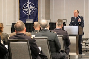
Reserve leaders emphasize standards, strategic ‘Reserve Advantage’ to NATO allies
Training for the mission, the Olympic medal
C3BM takes lead on Joint Fires Network
World Class Athlete Program showcases Air Force excellence ahead of Winter Olympics
National Defense Areas expanded, established along Texas border